Anchal Bypass Road is an important urban bypass in Anchal town in Kollam district, Kerala. The 2.02 km road connects Kurishumukku on the Ayoor–Anchal road with the St. George School side on the Anchal–Punalur road. By linking these two approaches outside the busiest part of the town, the bypass gives through traffic an alternative to the crowded Anchal market and central junctions.
The project took many years to complete and was officially inaugurated on 21 February 2024 after traffic had already been allowed on the finished road. The corridor includes modern road-safety and roadside features such as footpaths, drainage, bus bays and bus shelters. For travellers, its main value is easier movement between the Ayoor/Kottarakkara side and the Punalur side of Anchal. This guide covers its exact location, road connections, nearby areas, rail and airport access, local transport, traffic conditions and practical points that readers may need.

Quick About Anchal Bypass Road
| Particular | Details |
| Location | Anchal, Kollam district, Kerala |
| Approximate Length | 2.02 km |
| Starting Point | Kurishumukku on the Ayoor–Anchal road |
| Ending Point | St. George School side on the Anchal–Punalur road |
| Official Opening | 21 February 2024 |
| Main Connections | Ayoor, Kottarakkara, Punalur, Yeroor and nearby eastern Kollam areas |
| Nearby Areas | Kurishumukku, Padinjattinkara, Panayanchery, Anchal town and Yeroor-side localities |
| Nearest Railway Station | Punalur Railway Station |
| Nearest Major Railway Hub | Kollam Junction |
| Nearest Airport | Thiruvananthapuram International Airport |
| Road Character | Urban bypass carrying local and through traffic |
| District / State | Kollam, Kerala |
Where Is Anchal Bypass Road Located?
Anchal Bypass Road runs around the built-up part of Anchal town in eastern Kollam district. Its western/north-western end begins at Kurishumukku on the Ayoor–Anchal road, while the other end joins the Anchal–Punalur road near St. George School. This alignment allows vehicles travelling across Anchal to avoid some of the busiest commercial streets in the centre.
Padinjattinkara and Panayanchery are useful locality references along the bypass. Because the road is relatively short, visitors should search for the exact junction, institution or business rather than using only “Anchal Bypass” as a destination. The bypass is mainly a town-level traffic-relief road, not a long national-highway bypass.
Connectivity of Anchal Bypass Road
Ayoor and Kottarakkara Connectivity
The Kurishumukku end connects the bypass with the Ayoor–Anchal road. From Ayoor, travellers can continue towards Chadayamangalam, Kottarakkara and the wider Kollam–Thiruvananthapuram road network. This is one of the main approaches used by people travelling to Anchal from the western side of Kollam district.
Punalur Connectivity
The other end of the bypass joins the Anchal–Punalur road near St. George School. Punalur is the nearest larger town to the east and provides onward road connections towards Thenmala, Aryankavu and the Kerala–Tamil Nadu side. The bypass therefore helps vehicles moving between the Ayoor/Kottarakkara side and Punalur avoid the central Anchal market area.
Yeroor, Kulathupuzha and Eastern Kollam
Local roads from Anchal connect towards Yeroor, Alencherry, Kulathupuzha and other eastern Kollam settlements. The broader hill-road network also makes Anchal an important local junction for people travelling towards plantation, forest and hill areas. Route choice depends on the final destination, so current navigation is useful once a vehicle leaves the bypass.
Access to Anchal Town
The bypass does not isolate Anchal town. Short local roads connect it with Market Junction, the private bus stand, shops, banks, schools and other everyday facilities. People whose destination is inside central Anchal should leave the bypass at the appropriate junction rather than travel from one end to the other.
Railway Connectivity
Punalur Railway Station is the nearest practical railway station for Anchal. It is roughly 10–14 km away depending on the starting point and route. Punalur has passenger connectivity towards Kollam and other parts of Kerala and also serves routes towards southern Tamil Nadu.
For a wider range of long-distance trains, Kollam Junction is the major railway hub for the district. Travellers heading to a fixed train should allow extra time for the road journey, particularly during busy town periods or monsoon conditions.
Bus Connectivity
Anchal is a busy local bus centre with services towards Punalur, Ayoor, Kottarakkara, Kollam, Yeroor and nearby villages. The town has a private bus stand and is also served by Kerala State Road Transport Corporation services on regional routes. Some buses use the bypass depending on their route and stopping pattern.
Passengers should not assume that every bus labelled for Anchal will stop on the bypass itself. For local travel, the town bus stand or a recognised junction is usually the clearer boarding point. If a private or long-distance service gives a bypass pickup, the exact landmark should be confirmed beforehand.
Airport Connectivity
Thiruvananthapuram International Airport is the nearest major airport. It is about 50–60 km from Anchal by road depending on the route. Airport-bound travellers generally move towards the Chadayamangalam/Thiruvananthapuram side through the regional road network.
Travel time can vary considerably because the route includes town traffic and two-lane road sections. Passengers with flights should therefore keep a generous buffer rather than judge the journey only by distance.
Nearby Areas Around Anchal Bypass Road
- Kurishumukku: One of the two principal ends of the bypass and the connection to the Ayoor–Anchal road.
- Padinjattinkara: A bypass-side locality and a useful landmark along the newer road.
- Panayanchery: Another locality associated with the bypass corridor and its surrounding residential land.
- Anchal Town: The main commercial centre, with markets, banks, schools, bus services and other daily facilities.
- Yeroor: A nearby town/locality reached through connecting roads from Anchal and important for eastern Kollam travel.
- Punalur: The nearest larger town, railway centre and major road junction on the eastern side of Anchal.
Shops and Daily Facilities
Most major daily-use facilities are concentrated inside Anchal town rather than continuously along the bypass. Grocery stores, pharmacies, banks, clinics, schools, restaurants and small commercial establishments are available within a short drive of the road. The town market and bus-stand area provide a wider range of services.
The bypass itself passes through stretches that are less densely commercial. Drivers who need fuel, food or a specific service should therefore use established junctions and town-side facilities rather than expect continuous roadside development along the full 2.02 km corridor.
Road Design and Traffic Conditions
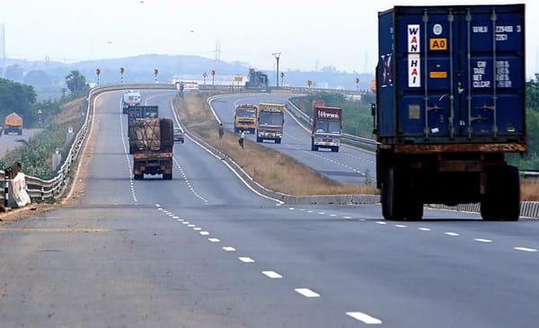
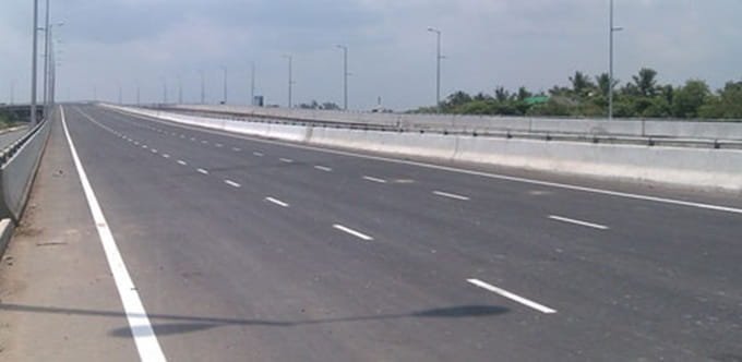
The completed bypass was built as a modern urban road with a wide carriageway, retaining structures, drainage, pedestrian footpaths, bus bays and bus shelters. Its main purpose is to reduce pressure on Anchal town by allowing through vehicles to move between the Ayoor and Punalur approaches without entering every central junction.
Road safety remains an important issue. Reports after the road opened have highlighted accidents linked to speeding, and later local reporting called for surveillance cameras because of repeated crashes and unsafe activity during quieter night hours. Drivers should follow posted speed limits, slow down near junctions and pedestrian areas, and avoid treating the open bypass as a high-speed highway.
Conclusion
Anchal Bypass Road is a short but important 2.02 km traffic-relief corridor in Kollam district. By connecting Kurishumukku on the Ayoor–Anchal road with the St. George School side of the Anchal–Punalur road, it gives through vehicles a practical alternative to central Anchal. The bypass improves movement towards Ayoor, Kottarakkara and Punalur while keeping local access to the town intact. For drivers, the most important points are to choose the correct end for the destination and to maintain safe speeds because the road still serves local junctions, pedestrians and nearby residential areas.
FAQs About Anchal Bypass Road
Q1. What traffic does Anchal Bypass mainly help avoid?
Its main purpose is to reduce through traffic in central Anchal. Vehicles travelling between the Ayoor/Kottarakkara side and the Punalur side can use the bypass instead of passing through the busiest market and town junctions.
Q2. Is Anchal Bypass part of a national highway?
No. It is a local bypass connecting the Ayoor–Anchal road with the Anchal–Punalur road. It functions as an urban traffic-relief route rather than a long national-highway bypass.
Q3. Which end should I use when travelling towards Punalur?
Use the St. George School/Anchal–Punalur Road end. From there, the road continues directly towards Punalur and onward eastern Kollam routes.
Q4. Which end is better for Ayoor or Kottarakkara?
The Kurishumukku end connects with the Ayoor–Anchal road and is the more direct side for Ayoor, Chadayamangalam and Kottarakkara-side travel.
Q5. Does the bypass have toll charges?
No toll plaza is associated with the 2.02 km Anchal Bypass. It is a town bypass road, not a tolled national-highway section.
Q6. Why should drivers be careful about speed on this road?
The road is wide and relatively open, but it still has local junctions, pedestrians and nearby residential areas. Accident reports after opening have repeatedly pointed to excessive speed as a concern, so normal urban-road caution is necessary.
Q7. Can I use the bypass for travel towards Thenmala?
Yes, if you are approaching from the Ayoor or Kottarakkara side. Use the bypass towards the Punalur end and then continue through Punalur towards Thenmala. The exact onward route should be checked before travel.