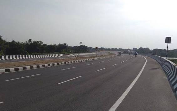
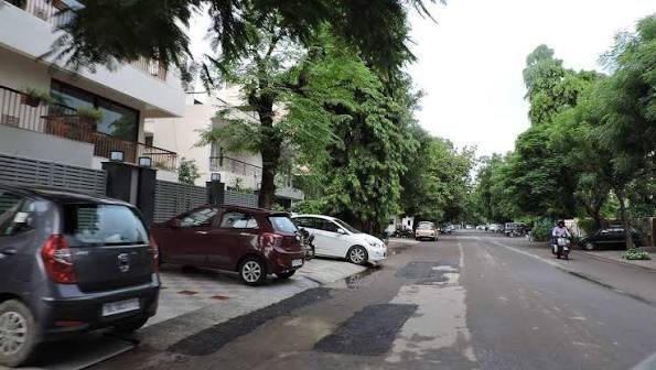
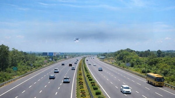
Bhimavaram Bypass Road is a familiar road and transport reference in Bhimavaram, West Godavari district. Local addresses use the bypass name around Narasimhapuram, Mentay Vari Thota and Kovvada Punta, while private-bus listings also use “Bhimavaram (Bypass)”. The road connects with the wider NH-165 and city-road network.
A separate official project is the greenfield Bhimavaram-Veeravasaram bypass on NH-165, with a revised length of about 17.46 km. In April 2026, Union Minister B. Srinivasa Varma said the larger NH-165 project had approval at an estimated Rs 2,400 crore and would move ahead after final Cabinet approval. The new bypass is not yet an open road.
Quick About Bhimavaram Bypass Road
| Particular | Details |
| Location | Bhimavaram, West Godavari district, Andhra Pradesh |
| Main Highway | NH-165, formerly part of old NH-214 |
| Existing Use | Local bypass road/address and private-bus landmark in Bhimavaram |
| Planned Official Bypass | Bhimavaram-Veeravasaram greenfield bypass on NH-165 |
| Planned Bypass Length | About 17.46 km |
| Main Highway Directions | Undi-Akiveedu-Gudivada-Pamarru and Veeravasaram-Palakollu-Digamarru |
| Nearby Regional Links | Narasapur, Tanuku and Tadepalligudem |
| Main Railway Stations | Bhimavaram Town and Bhimavaram Junction |
| Practical Airports | Rajahmundry Airport and Vijayawada Airport |
| Current Major Project Status | NH-165 bypass/highway project awaiting full implementation as of 2026 |
| Toll Status | No dedicated toll on the existing local Bhimavaram Bypass Road |
| City / State | Bhimavaram, Andhra Pradesh |
Where Is Bhimavaram Bypass Road Located?
Bhimavaram Bypass Road is used around outer-city areas including Narasimhapuram, Mentay Vari Thota and Kovvada Punta.
These local references should not be confused with the planned 17.46 km Bhimavaram-Veeravasaram greenfield bypass on NH-165.
Connectivity of Bhimavaram Bypass Road
NH-165 links Bhimavaram with Undi, Akiveedu, Kaikaluru, Gudivada and Pamarru on one side and Veeravasaram, Palakollu and Digamarru on the other.
State and district roads also connect Narasapur, Tanuku, Tadepalligudem, Mogalthur and Ganapavaram.
Undi, Akiveedu and Gudivada Connectivity
NH-165 traffic towards Krishna district runs through Undi, Akiveedu and Kaikaluru towards Gudivada and Pamarru.
Official alignment records for the 61.740-107.660 km section identify Akiveedu, Undi, Bhimavaram-Veeravasaram and Ballipadu-Dagguluru bypasses.
Veeravasaram, Palakollu and Digamarru Connectivity
NH-165 continues from Bhimavaram towards Veeravasaram, Palakollu and Digamarru.
At Digamarru, the network connects with the coastal NH-216 corridor. Follow signed routes for farther coastal destinations.
Narasapur Connectivity
Narasapur is an important nearby town connected by the Bhimavaram-Narasapuram road corridor.
Use the signed Narasapur road; NH-165 itself does not run directly into central Narasapur.
Tanuku and Tadepalligudem Connectivity
Inland roads connect Bhimavaram with Tanuku and Tadepalligudem and onward NH-16 access.
For Rajahmundry, Eluru or Vijayawada, route choice depends on the destination and traffic.
Railway Connectivity
Bhimavaram has two important railway stations: Bhimavaram Town (BVRT) and Bhimavaram Junction (BVRM).
The best station depends on the train. Allow time for an auto or cab transfer to a bypass-side bus pickup.
Airport Connectivity
Rajahmundry and Vijayawada are the main practical airports. Andhra Pradesh Tourism lists Rajahmundry Airport at about 91 km for Bhimavaram tourism access, while the district travel page identifies Vijayawada as the nearest domestic airport for West Godavari.
Choose according to flight availability and allow extra road time.
Bus Boarding and Local Transport
APSRTC and private buses use points including the depot, old bus stand, new bus stand, Housing Board Colony, Abhiruchi, Undi Road and “Bhimavaram (Bypass)”.
If a ticket says only “Bhimavaram Bypass”, use the operator’s exact pin or landmark because the name covers more than one local reference.
Nearby Areas Around Bhimavaram Bypass
Narasimhapuram, Mentay Vari Thota and Kovvada Punta are common bypass-side references. Undi, Veeravasaram, Palakollu and Narasapur are important nearby directions.
Central Bhimavaram, DNR College, the main commercial areas, railway stations and bus stands are reached through city roads from the bypass-side neighbourhoods.
Shops and Daily Facilities
The bypass-side urban area has fuel stations, restaurants, pharmacies, hospitals, supermarkets and workshops, with strong commercial-vehicle activity.
For a highway pickup, passengers should use safe service or frontage areas where available and avoid waiting on a narrow carriageway or at an unmarked curve.
Traffic Conditions on Bhimavaram Bypass Road
The local bypass belt carries buses, cars, autos, two-wheelers and goods vehicles, with slowdowns near crossings and busy junctions.
The planned NH-165 bypass is intended to shift through and heavy traffic away from these urban roads.
Planned 17.46 km Bhimavaram-Veeravasaram Bypass
MoRTH approved Option 10C for the Bhimavaram-Veeravasaram bypass in 2018, from about existing km 78.590 to km 95.450, with a length of about 17.46 km.
The alignment avoids dense habitation and covers the wider Bhimavaram-Srungavruksham-Veeravasaram area as part of the Pamarru-Digamarru NH-165 programme.
Current 2026 Project Status
The project has faced long delays. In April 2026, Union Minister B. Srinivasa Varma said the larger NH-165 project had approval at an estimated Rs 2,400 crore and was expected to take three years after work begins.
He said work would begin after final Cabinet approval and a recent re-survey had made minor alignment changes. No later official source found in this September 2026 check confirmed the 17.46 km bypass as open, so it remains a planned/implementation-stage project.
Why Do Different Bhimavaram Bypass Lengths Appear?
Older records show a 12.70 km alignment approved in 2008. MoRTH later approved the revised Option 10C at about 17.46 km in 2018.
The 17.46 km figure is therefore the more relevant length for the later proposal.
Toll Information
There is no dedicated toll plaza on the existing local Bhimavaram Bypass Road, and the planned 17.46 km greenfield bypass is not yet operational.
Any future toll would require the applicable official fee notification after the upgraded road becomes operational.
Conclusion
Bhimavaram Bypass Road currently refers to an established local road and transport belt within Bhimavaram, while the major official future project is the separate 17.46 km Bhimavaram-Veeravasaram greenfield bypass on NH-165. The city has strong road links towards Undi, Akiveedu, Gudivada, Veeravasaram, Palakollu, Narasapur, Tanuku and Tadepalligudem, along with two important railway stations. The proposed NH-165 bypass is intended to reduce heavy through traffic, but it should not yet be shown as an open completed road. For bus travel, the exact bypass pickup landmark should always be confirmed, and there is currently no dedicated toll on the local Bhimavaram Bypass Road.
FAQs About Bhimavaram Bypass Road
Q1. Is the new 17.46 km Bhimavaram Bypass open now?
No. The latest reliable 2026 information supports treating the Bhimavaram-Veeravasaram NH-165 bypass as a planned/implementation-stage project. The existing local road called Bhimavaram Bypass Road should not be confused with the future greenfield bypass.
Q2. My bus ticket says Bhimavaram (Bypass). Where should I wait?
Use the operator’s exact live pin or landmark. Current booking platforms use Bhimavaram (Bypass) as one of several boarding descriptions, but the general name does not identify one universal pickup point.
Q3. Which highway connects Bhimavaram with Gudivada and Pamarru?
NH-165 is the main corridor. From Bhimavaram it runs through the Undi-Akiveedu-Kaikaluru side towards Gudivada and Pamarru.
Q4. Which direction should I use for Palakollu?
Use the Veeravasaram-Palakollu side of the NH-165 corridor. Continue according to the signed route and current local traffic arrangements.
Q5. Which railway station is better for Bhimavaram?
Both Bhimavaram Town and Bhimavaram Junction are important. The correct choice depends on the train because not every service uses both stations in the same way.
Q6. Which airport should I use from Bhimavaram?
Rajahmundry and Vijayawada are the main practical options. Compare the available flight, road time and your exact starting point before choosing.
Q7. Why do some sources say the bypass is about 12.7 km?
That figure relates to an older alignment approved in 2008. The later MoRTH-approved Option 10C Bhimavaram-Veeravasaram alignment is about 17.46 km.
Q8. Is there a toll on Bhimavaram Bypass Road?
There is no dedicated toll for the existing local bypass road. The future NH-165 bypass is not yet an operational toll road.